Terrestrial Mineral Analysis by Remote Sensing
The T-MARS 2020-2024 project, funded by the Canadian Space Agency, is conducted by a team of researchers and students from Université de Sherbrooke and McGill University, the Geological Survey of Canada and ELEMSSION.
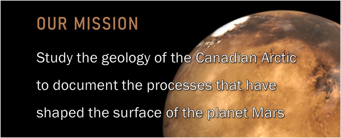
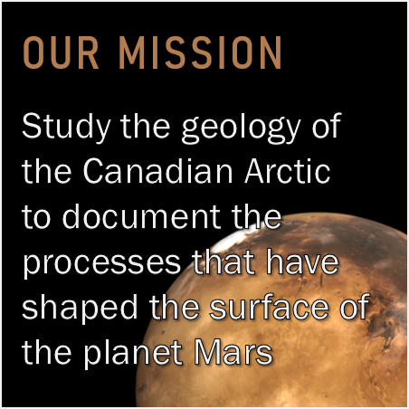
This project aims to study the composition of gossans in the Canadian Arctic as analogous to potentially similar geological formations on the planet Mars. More details about the project...
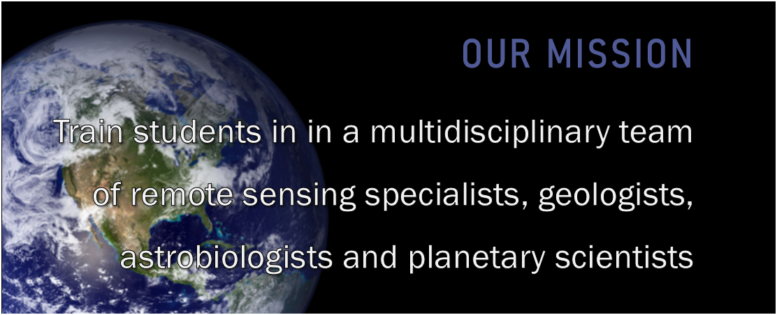
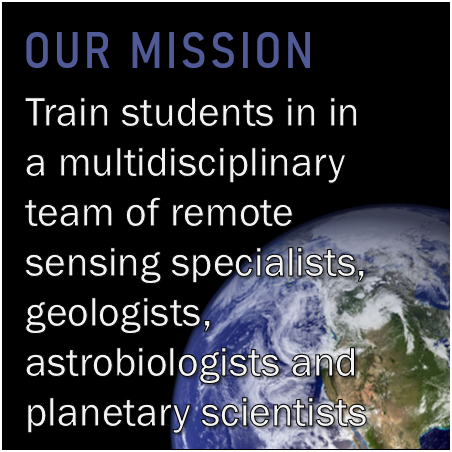
The T-MARS project will also train highly qualified personnel (HQP) in the fields of geomatics, remote sensing, astrobiology and geology by providing hands-on experience to students at various levels. More details about the training of our HQPs...
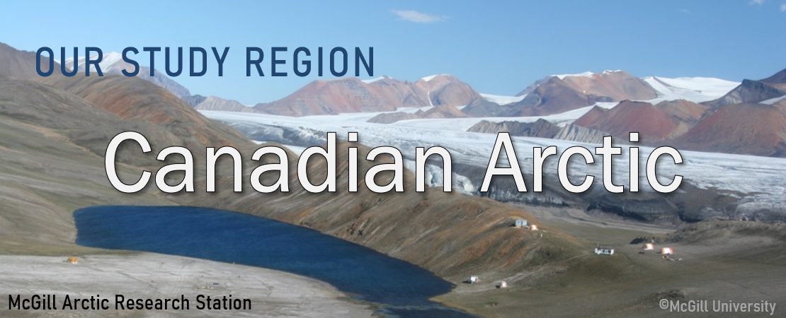
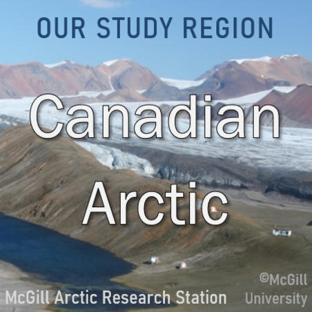
Our region of study and fieldwork: the Canadian Arctic
The geological formations studied by the T-MARS team are the gossans, which are surficial deposits created by the oxidation of sulphide deposits by acidic fluids. These formations contain alteration minerals (e.g. gypsum, jarosite, hematite) that are also found on Mars. Gossans are visible on satellite images, usually in the form of oxidized ochre-coloured formations. More details about gossans...
The arid climate of the Canadian Arctic slows down alteration processes, which allows the conservation of certain minerals such as jarosite that would degrade in a hot and humid climate. Jarosite contains biosignatures lined to ancient traces of life, so the Arctic region is a prime location to study gossans as analogues to the surface of Mars. More details about our study region...
The T-MARS field team visited Axel Heiberg Island in July 2022 to collect remote sensing data and samples. These will then be used by the M.Sc. students in the realization of their research project. This field experience allowed the students to develop skills in the realization of an applied remote sensing and astrobiology project. More details about the field work...
Visit our interactive map !
Browse through our interactive map to visualize several geospatial data in our study area on Axel Heiberg Island and in the Canadian Arctic Archipelago. These data are some of the ones used by our Master's students!
You will have the opportunity to visualize:
- Geological maps
- High spatial resolution satellite images
- Topographic data (shaded relief, slope)
- And more!
» Visit the interactive map
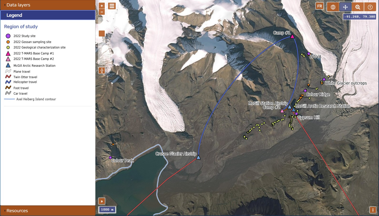
Preview of the interactive map.
Last blog post