<< Back to Our HQPs and interns
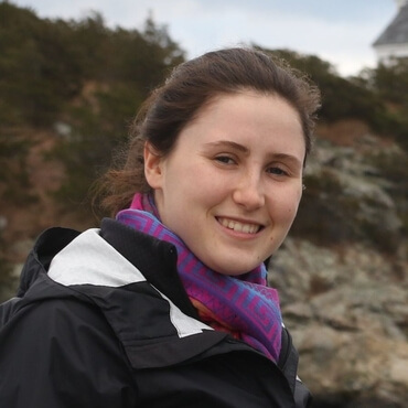
Stéphanie Lachance
MSc student (2020-2023) - Our remote predictive mapping specialist
Research project: Remote predicitve mapping of gossans in volcanic terrain.
Remote predictive mapping is a technique for producing or improving geological maps using geospatial data. Geospatial data can be very varied: satellite images (Landsat, WorldView, Radarsat), geophysical surveys, digital elevation models, etc. The purpose of my master's project is to develop a remote predictive mapping method adapted to the geological formations and alterations present in the surroundings of the McGill Arctic Research Station (Nunavut). The resulting geological map will have to delineate the gossans and paleo-hydrothermal alterations of the study site, all at a finer scale than the current geological map. Therefore, I am responsible for:
- Correcting and processing the geospatial data in order to highlight information relevant to the mapping of the study site;
- Testing and comparing different methods of supervised classification in order to identify the most appropriate;
- Producing a geological map from the classifications performed and validating it with in situ data.
The methodology implemented in my project could be used to continue the mapping of the Canadian Arctic, but also to map the gossans present on Mars.
Project conducted under the direction of Prof. Myriam Lemelin, September 2020 to March 2023.
Stéphanie is a member of the 2022 field team.
