<< Back to Blog
3 questions to Myriam Lemelin... geomatics for space exploration missions
From environmental problems to space exploration missions: Myriam Lemelin's story is astonishing. By studying geospatial data, this professor of applied geomatics discovers the potential of these tools in a planetary science context. Through her research, she has come to understand that environmental problems on Earth are inseparable from everything we observe on other planets.
The Canada Research Chair in Northern and Planetary Remote Sensing therefore integrates these two passions. It will allow Myriam Lemelin and her team to continue studying the composition of geological formations in the Canadian Arctic and on Mars. The team will also analyze the distribution of ice and minerals at the lunar poles and on certain asteroids in order to plan future space exploration missions. The Chinese space agency's Yutu-2 rover is currently exploring the Moon with the help of the mineral maps the professor has created, a career highlight!
For this researcher, who began her profession in spatial remote sensing by doing an internship at NASA, the Moon remains a subject of fascination. And who knows... Perhaps this research will allow her to go there one day or to support the astronauts on its surface.
Watch the video in which Myriam Lemelin explains her field of research
Geomatics, a somewhat unfamiliar discipline, consists of everything related to the acquisition, processing and dissemination of geospatial data, whether obtained from GPS, field missions or satellites. This discipline therefore makes it possible to paint a local or global portrait of a phenomenon of interest.
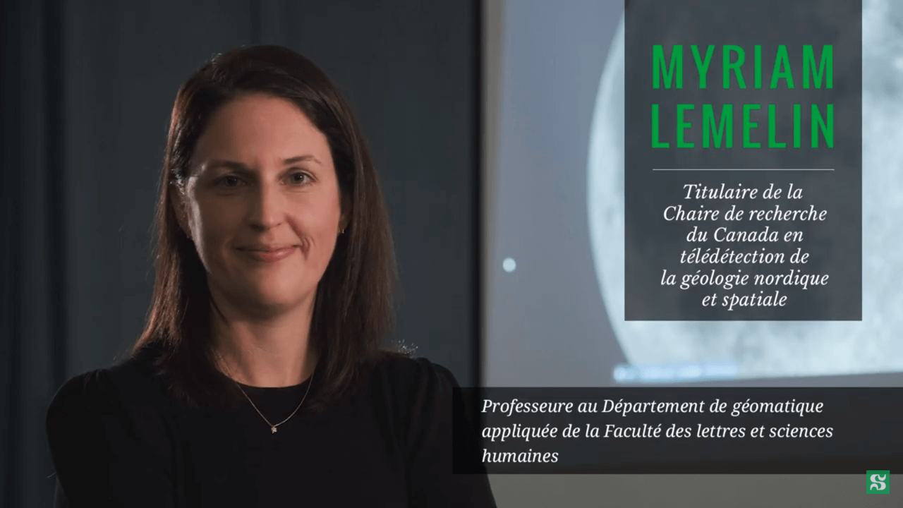
Myriam Lemelin, holder of the Canada Research Chair in Northern and Planetary Geological Remote Sensing.